Mapping Historic and Pre-Historic Landslides

During my graduate student studies, I was hired by the Oregon Department of Geology and Mineral Industries as a student mapper. The position provided me with an extraordinary opportunity to work on several projects at DOGAMI, but my primary project dealt with mapping prehistoric and historic landslides on BLM managed land using aerial lidar and historic photos. The mapping was done according to DOGAMI's Special Paper 42 method. This method uses a combination of slope map, contour lines, color-ramp elevation, and several other layers to identify and delineate landslides that would not otherwise be visible.
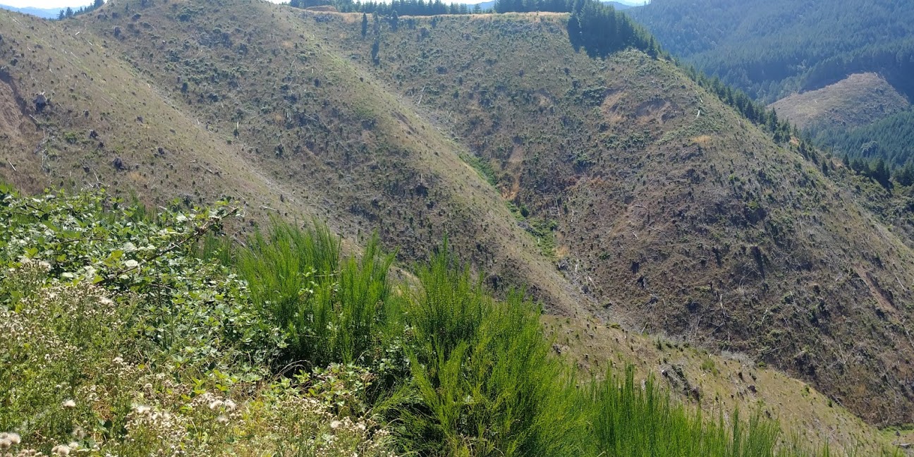
Mapping was done on a HU12 watershed scale, covering four watersheds in the Coast Range near Reedsport, Oregon. The underlying geology in the area is Tyee formation, comprised of interbedded sandstone and shale deposits. This structure often leads to large translational slides along dip-slopes with smaller shallow debris flows on anti-dip slopes. This mapping project provided me with a great deal of experience identifying and delineating landslide deposits, scarps, and flanks. It required extensive use of ArcMap, understanding of aerial lidar, and use of aerial images.
By the time I had finished my contract period at DOGAMI, I had identified and mapped over 4200 individual landslides. Along the way, I wrote a new ArcMap script that dramatically streamlined the mapping prep process by automating the creation and styling of all the layers and geodatabases required for the SP-42 mapping process.
The preliminary mapping work was followed by a weeklong field trip to the area to ground truth the landslides that I mapped. The results showed very good consistency between what I mapped on ArcMap and what was actually present on the ground. This helped not only provide me with greater confidence in my own ability to detect these natural hazards in lidar, but also provided another testimonial to the effectiveness of the DOGAMI SP-42 landslide mapping method.
While ground truthing landslides on BLM managed land, we came across this bizarre collection of feral goldfish in an old quarry pond. Near Reedsport, Oregon, July 28, 2017.
I worked on this project for a year and a half, so I learned a great deal beyond what I can describe here. I was incredibly lucky to partake in such a fascinating, meaningful, and educational experience while still just a grad student.